Services
Drone Solutions Built Around The Application.
We plan the operation, capture the data, extract the information and deliver the solution — across agriculture, survey & mapping, FPV technology, forensics and training.
Service 01
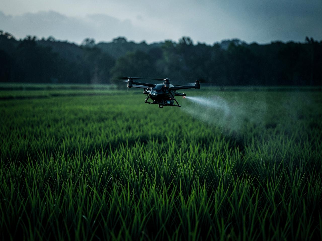
Agriculture
Using drones to make agriculture smarter, more efficient and data-driven.
Agricultural Drone Spraying
Professional drone-based agricultural spraying solutions.
Crop Monitoring
Drone imagery and data to monitor crop health, identify crop stress and support better agricultural decision-making.
Agriculture Drone Operations Training
Practical training covering safe and effective agricultural drone operations.
Agri-Drone Technician Training
Technical training focused on agricultural drone systems, maintenance, troubleshooting and field readiness.
Service 02
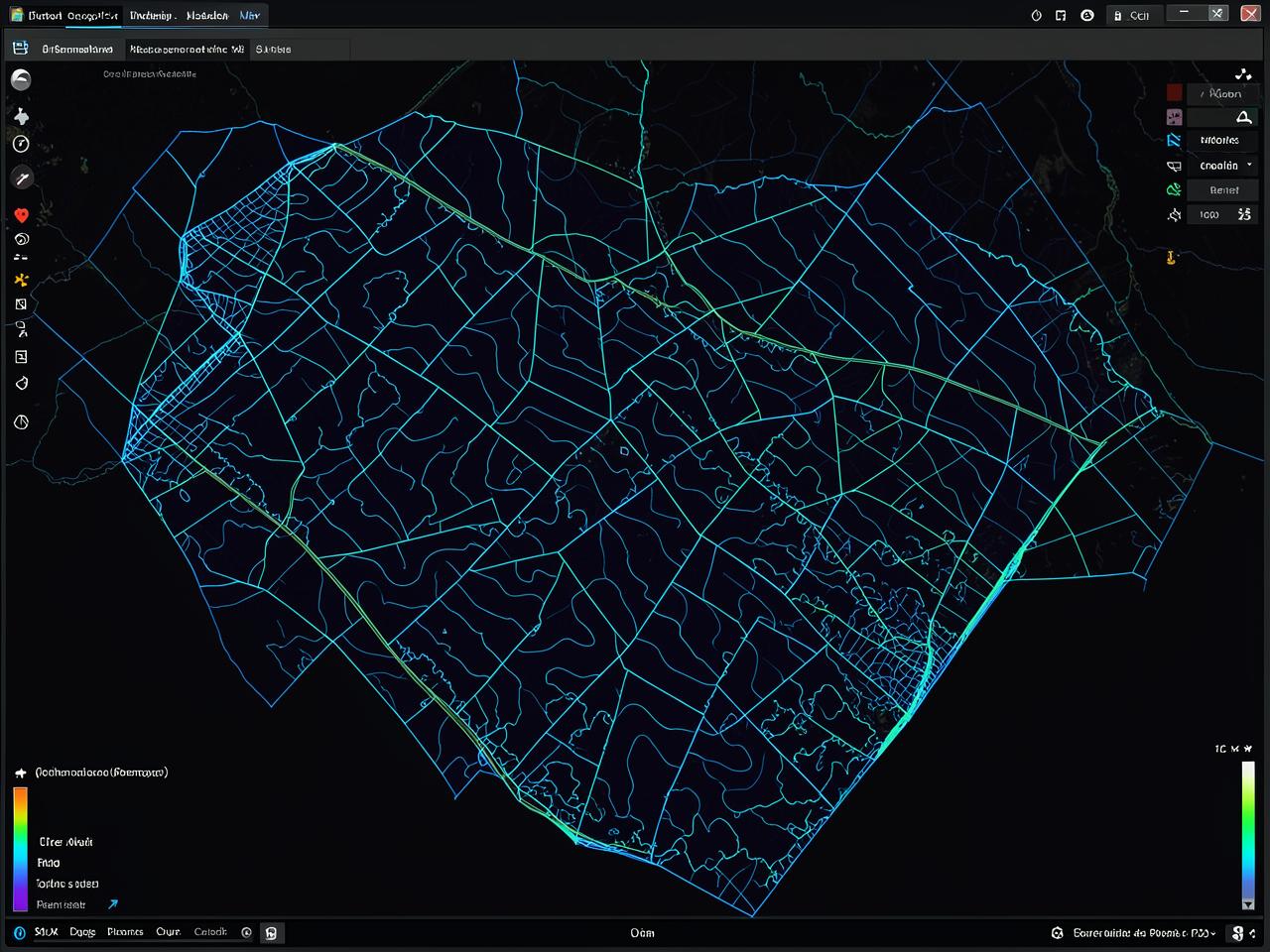
Survey & Mapping
Capture accurate aerial data. Convert it into meaningful geospatial information.
Topographic Mapping
Drone-based topographic surveys and mapping for terrain analysis and planning.
Cadastral Survey
Drone-assisted cadastral and land survey applications.
Drone Data Acquisition
Learn how to plan and execute drone missions for survey and mapping.
Drone Data Processing
Learn how raw drone imagery becomes orthomosaics, point clouds, DSM/DTM and other geospatial products.
Service 03
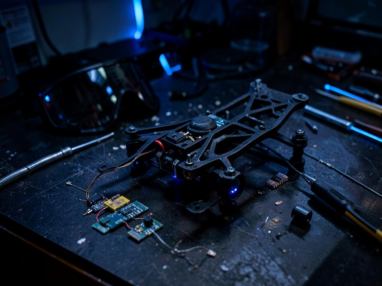
FPV — Build. Fly. Master.
FPV technology combines engineering, electronics, flight control and piloting skills.
Learn to Build FPV
Understand the components, electronics, configuration and assembly of an FPV drone.
Learn to Fly FPV
Develop practical FPV flying skills through structured hands-on training.
Service 05
Workshops & Training
Learn. Build. Fly. Apply.
Institutional Programmes
Drone technology workshops for schools, colleges, universities and professional teams.
Operational Programmes
Drone safety, drone operations, agriculture operations, survey & mapping and data workflows.
Customized Workshops
Training programmes can be customized according to the requirements of the institution or organization.

Service 04
Drone Forensics
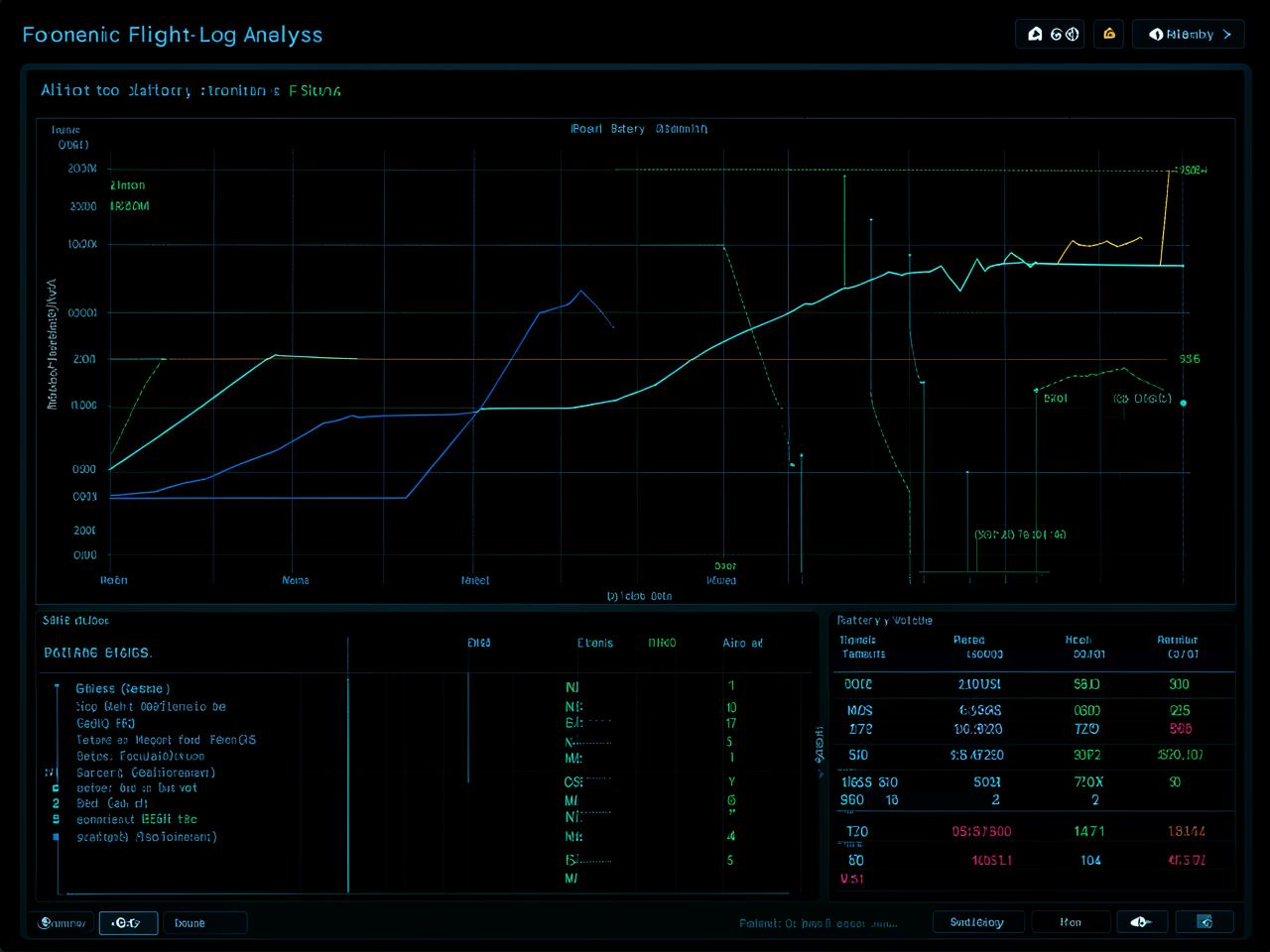
Drone flights generate valuable digital information. We analyse available flight logs and associated information to help understand what happened during a drone operation.
- · Flight log analysis
- · Flight path reconstruction
- · Flight parameter analysis
- · GPS information
- · Altitude and speed analysis
- · Battery and power information
- · Flight-controller data
- · Event/error information
- · Identification of abnormal flight behaviour
- · Extraction of useful information from available drone logs
Not sure which service fits your requirement?
Describe your objective and we will suggest the right drone approach.